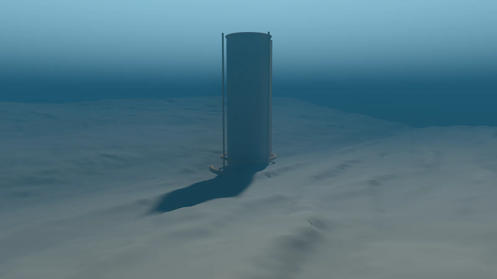
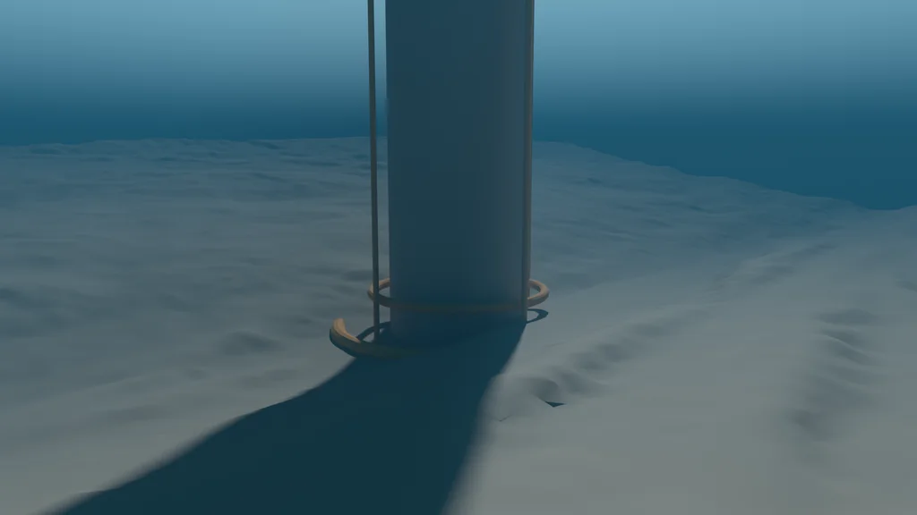
The Trench is a Blender scene set at the Challenger Deep, in the Mariana Trench in the western Pacific. The seafloor in it is not sculpted. It is a published survey grid, turned into a mesh at true scale. On top of that sit a fictional structure, materials, deep-sea lighting and an ocean. This is how each layer was made.
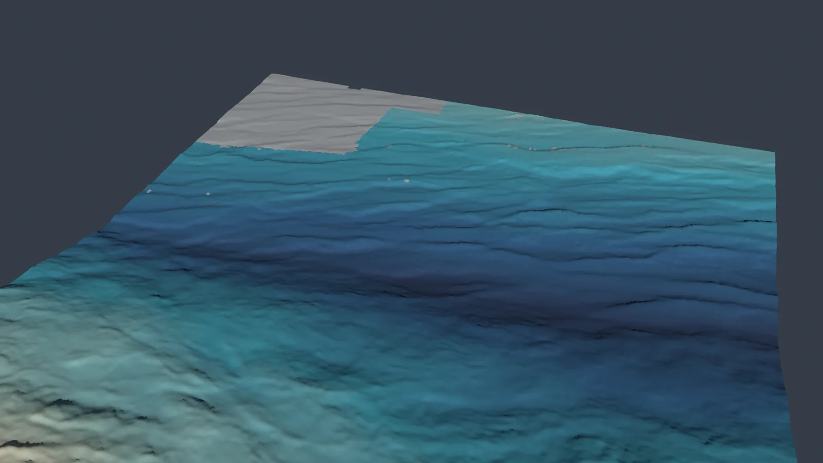
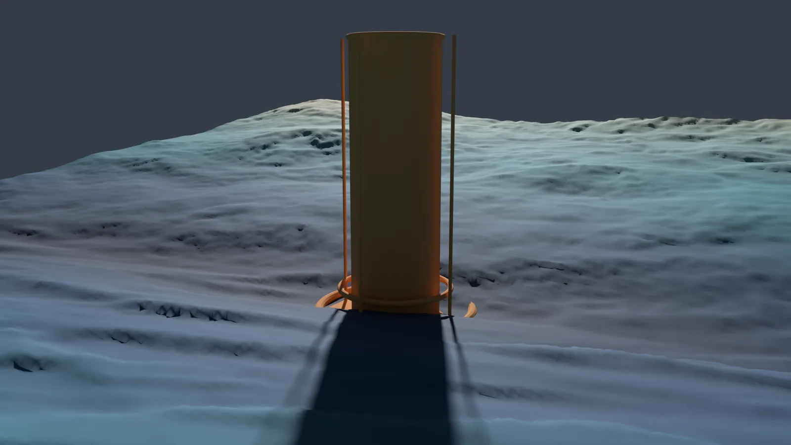
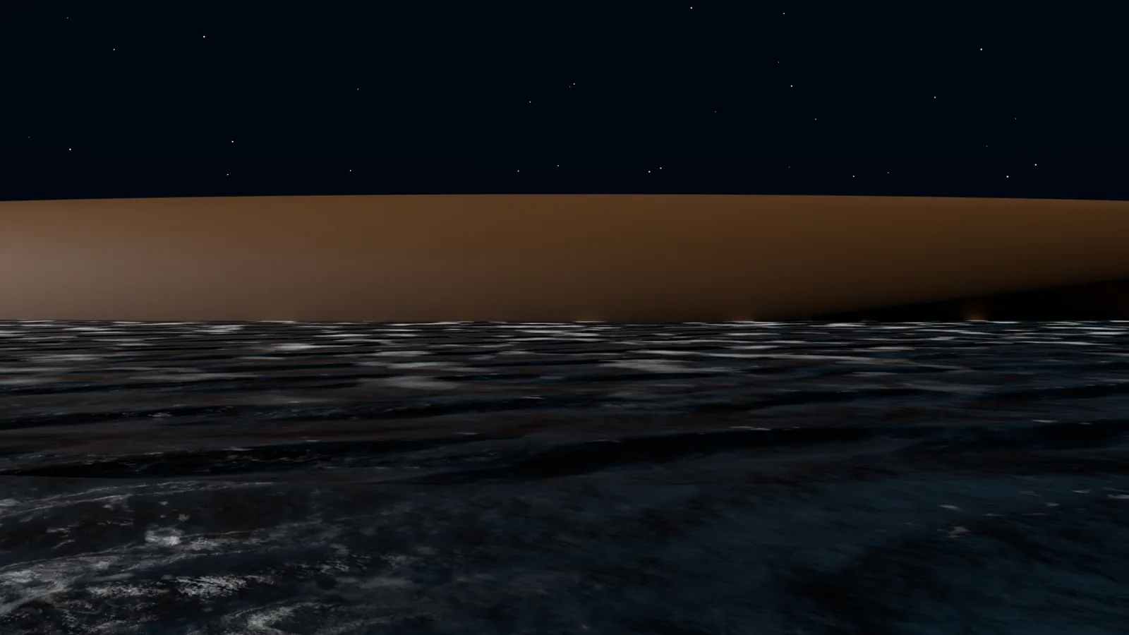
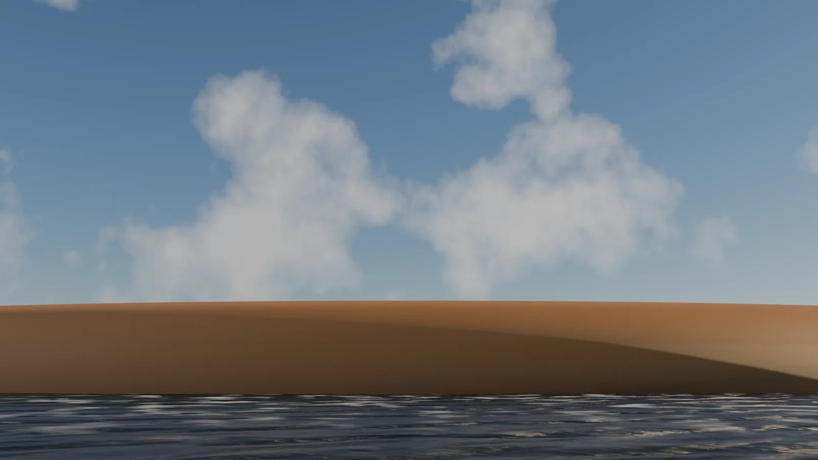
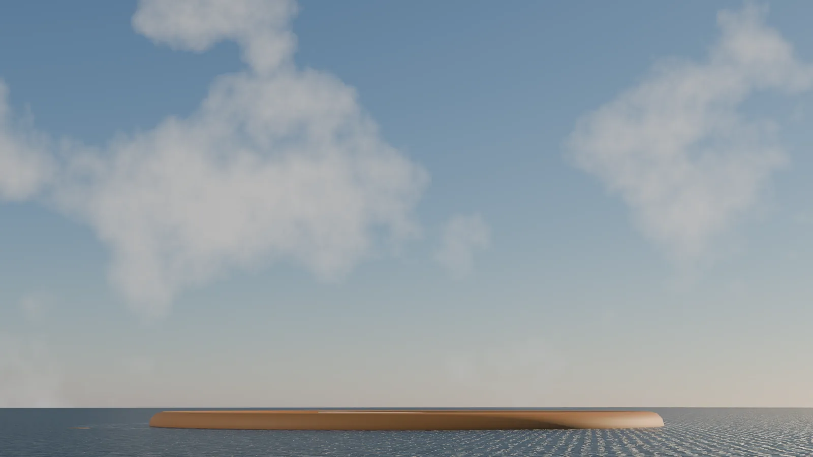
The two pictures at the top were rendered for this article: the measured terrain and the fictional 3.6 km caisson described below, at true scale, seen from far off behind the title and up close below it. The blue haze and the sunlight that casts the shadow were added for the pictures; the project’s own deep scene is lit only by lamps.
The data
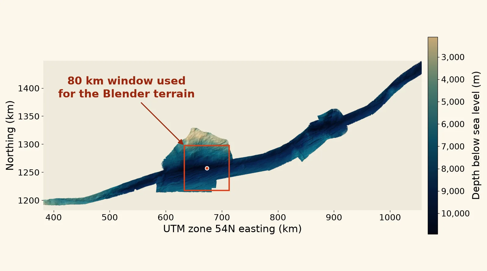
The terrain comes from the Five Deeps Expedition’s bathymetry (seafloor depth) grid for the Mariana Trench. The survey was made by Caladan Oceanic and the grid is published by the British Geological Survey. It was measured from the ship Pressure Drop with a Kongsberg EM124 multibeam sonar, which measures depths across a wide strip of seafloor at once, between 19 April and 6 May 2019. The grid has 9,536 × 3,552 cells, each 75 m square, and runs from 2,117 m to 10,927 m deep.
Every downloaded file is checked against a SHA-256 fingerprint. The grid file used for this article still matches the fingerprint the project recorded for it.
From grid to mesh
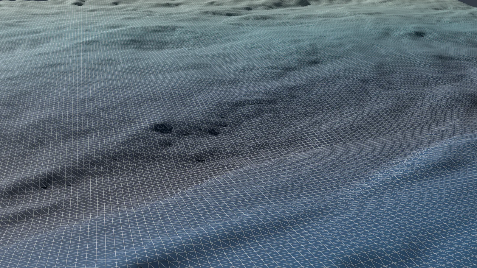
An 80 × 80 km window, 1,067 × 1,067 cells, is cut out around the reference point. At full detail, each cell with data becomes one point of the mesh (a vertex) at its real position: its distance east and north of the reference point, and its height, which is negative because the seafloor is below sea level. One Blender unit is 10 m, and heights are not stretched (there is no vertical exaggeration).
Nothing is smoothed or invented. The lighter versions keep every 3rd or 5th cell rather than averaging, and cells with no data become holes.
| Version | Keeps | Point spacing | Points |
|---|---|---|---|
| Full detail | every cell | 75 m | 1,042,911 |
| Working (used in the scene) | every 3rd cell | 225 m | 116,117 |
| Preview | every 5th cell | 375 m | 41,943 |
In the working version the floor runs from 3,853 m to 10,924 m deep. A check script compares each exported mesh with its recorded point and face counts, and checks a sample of faces to confirm they point up.
Filling the holes, for pictures only
Where the survey has no data, the scene adds separate patch meshes cut from a 100 m Mariana grid from a 2020 survey (PD20MT01), published by NOAA’s National Centers for Environmental Information. The patch grid is resampled to fill only those gaps. The patches are tagged as render-only and drawn in their own colour. The measured mesh is never edited. In this article’s renders they are the flat grey areas.
The Trench itself
The structure in the scene is a placeholder. The project describes it as a fictional, true-scale blockout, a rough placeholder model: a caisson (a giant hollow cylinder) 3.6 km across, running from sea level down to the floor at the reference point, with footing rings at its base, four vertical service spines and a 5 × 5 km site footprint. It is there for scale and composition, not as final architecture.
The seafloor surface
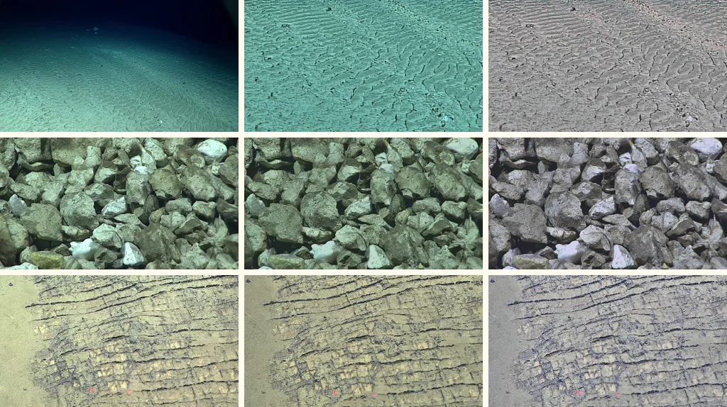
The terrain uses three materials: rippled sediment by default, fractured rock on steeper faces, and angular talus (broken rock) on scattered synthetic rocks. Their colours were taken from public-domain NOAA photos of the Mariana Trench seafloor, shot about 5 to 6 km down rather than at the Challenger Deep; the small surface bumps are synthetic. The lighting in the photos was flattened, the colour neutralised, and the result made to tile without seams. They are artistic stand-ins, not measured seafloor colour.
The rocks, a fine sediment layer near the close-up cameras and a 1.8 m human figure for scale all sit in separate groups that can be switched off. The measured geometry underneath does not change.
At the bottom
The deep scene has no daylight at all; the only light comes from the vehicles’ lamps. The water in the beams carries marine snow, small drifting particles. The size, softness and spread of the beams and the snow were compared with stills from real NOAA dives by ROVs (remotely operated vehicles).
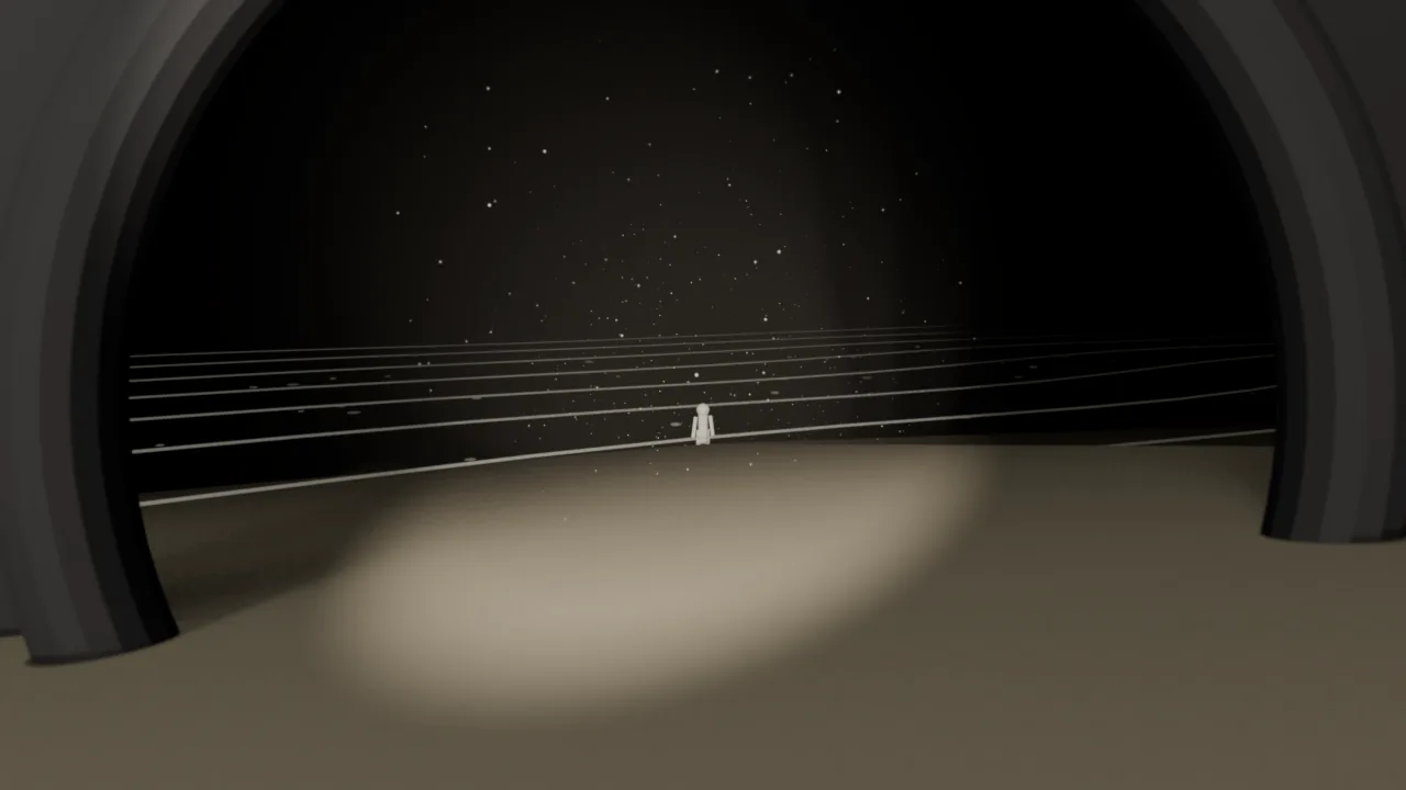
The ocean on top
Sea level is the scene’s zero. The ocean surface is procedural, generated by formulas: four wave bands of 200, 100, 44 and 13 m are added into one height field. The standard deep-water rule (wavelength ≈ 1.56 × period²) gives them periods of about 11.3, 8.0, 5.3 and 2.9 seconds. In Cycles, the long swell is real displaced geometry and the shorter waves are shading detail; a ring of foam is painted around the caisson.
At night the stars are about 1,200 tiny glowing squares of geometry rather than a texture, so they stay sharp. They are rendered in a separate pass so the denoiser, the clean-up step that removes render noise, cannot blur them. By day, a physical sky model lights the scene, a dome of procedural clouds fills the sky, and the water is darkened under each cloud to match. The time of day is fictional, and the project’s ocean notes label each setting by where it came from: observed, calculated, inferred or artistic.
The build, step by step
The scene is built by scripts in Blender 5.1: one builds the terrain, the structure and the dressing from the exported mesh, a second adds the ocean, and a third sets up the deep-sea lighting and marine snow. Re-running them rebuilds the scene from the same inputs.
Bathymetry: Caladan Oceanic LLC (2021): Five Deeps Expedition to map the Mariana Trench (Pacific Ocean). British Geological Survey. (Dataset). https://doi.org/10.5285/7675c2f6-b32d-4a8b-854f-0ce2f953c4b2. Contains data supplied by permission of the Natural Environment Research Council 2021. Available under the Open Government Licence v2.0. Gap fill: Caladan Oceanic LLC (2020): Multibeam collection for PD20MT01: Multibeam data collected aboard Pressure Drop from 02-May-20 to 09-Jul-20, Guam to Guam. NOAA National Centers for Environmental Information. https://www.ngdc.noaa.gov/ships/pressure_drop/PD20MT01_mb.html, accessed August 2026. Seafloor photos: NOAA/OAR/OER, 2016 Deepwater Exploration of the Marianas, Legs 1 and 3 (public domain).